Le GuideBéarn Pyrénées
Discover our other guides



You will like also

You will also like
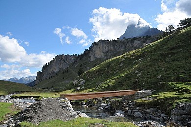
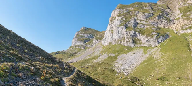
Chemin d’Ossau sur le GRT19 - de Gabas à Sallent de Gallego par le Col de Peyrelue
Chemin d’Ossau sur le GRT19 - de Gabas à Sallent de Gallego par le Col de Peyrelue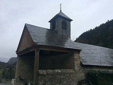
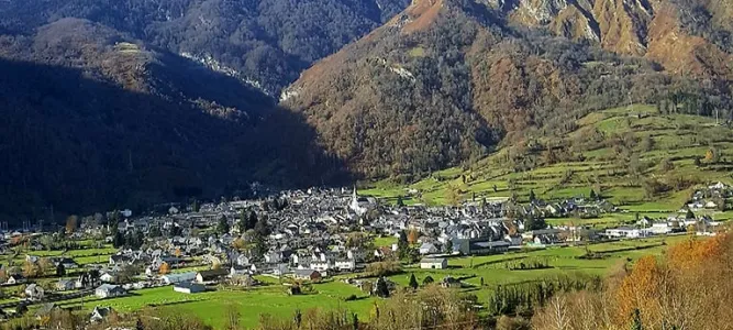
Laruns
We tested for you
The Ossau Valley for families, a wonderful destination for having fun with your children all year round
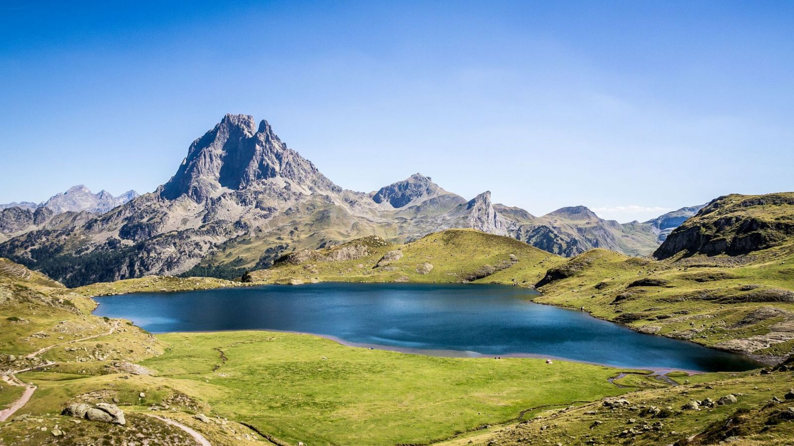
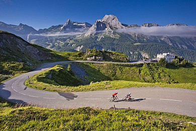
The Col d’Aubisque, a must-see in the Pyrenees
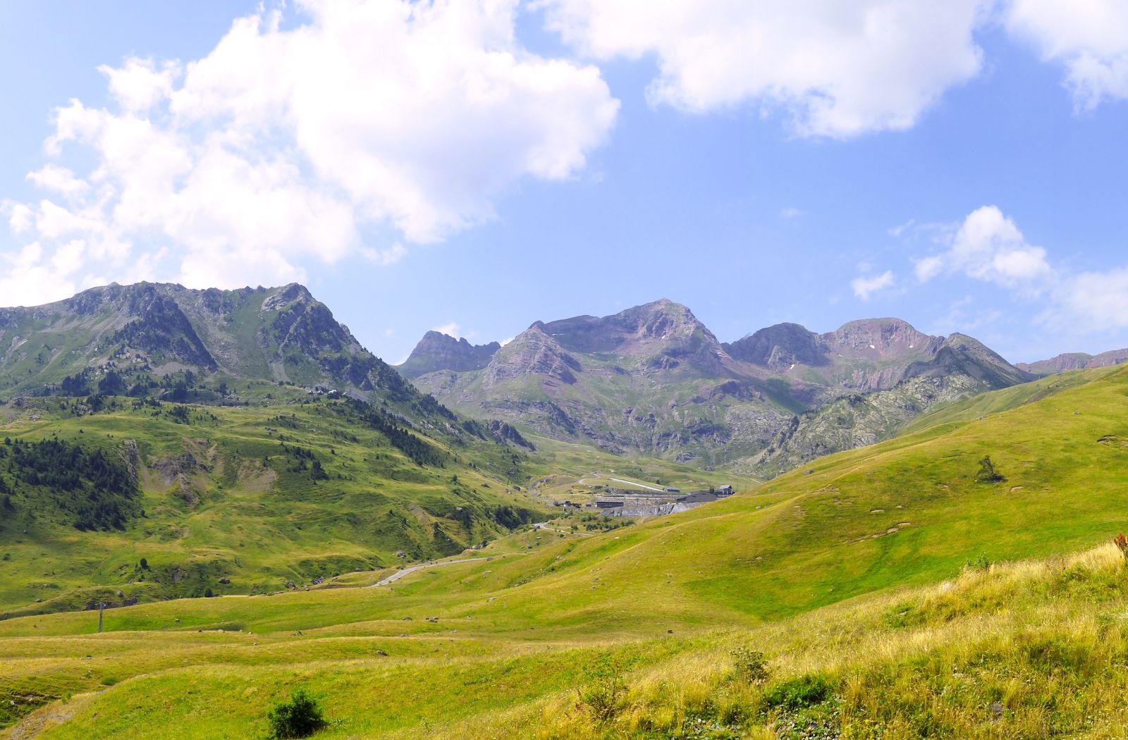
Béarn photo spots
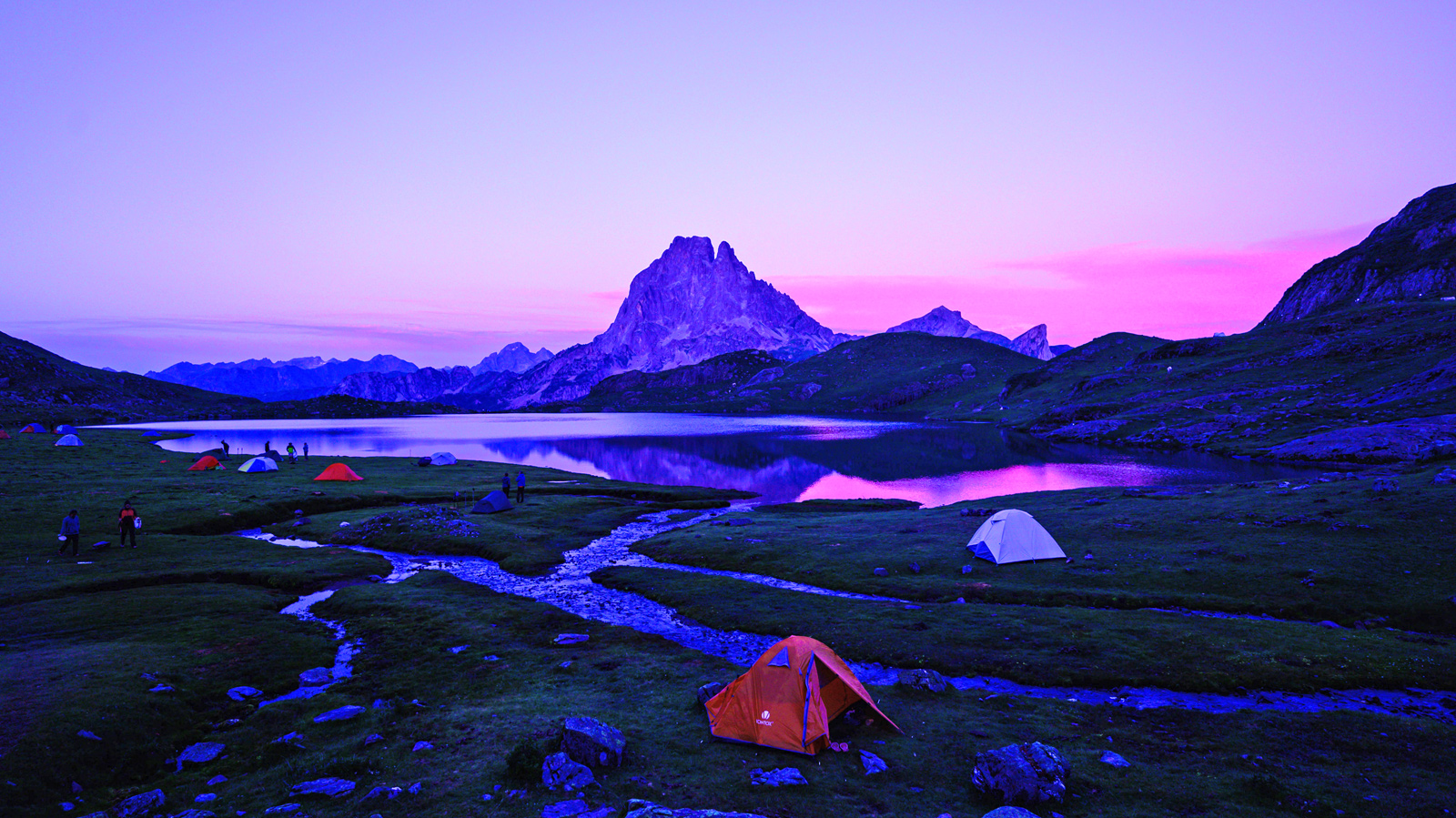
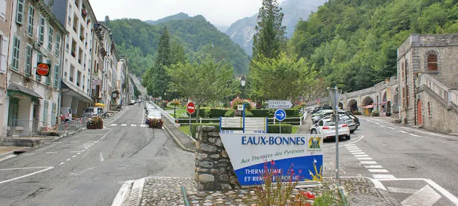
The best things to do in the Ossau Valley, on holiday in Béarn
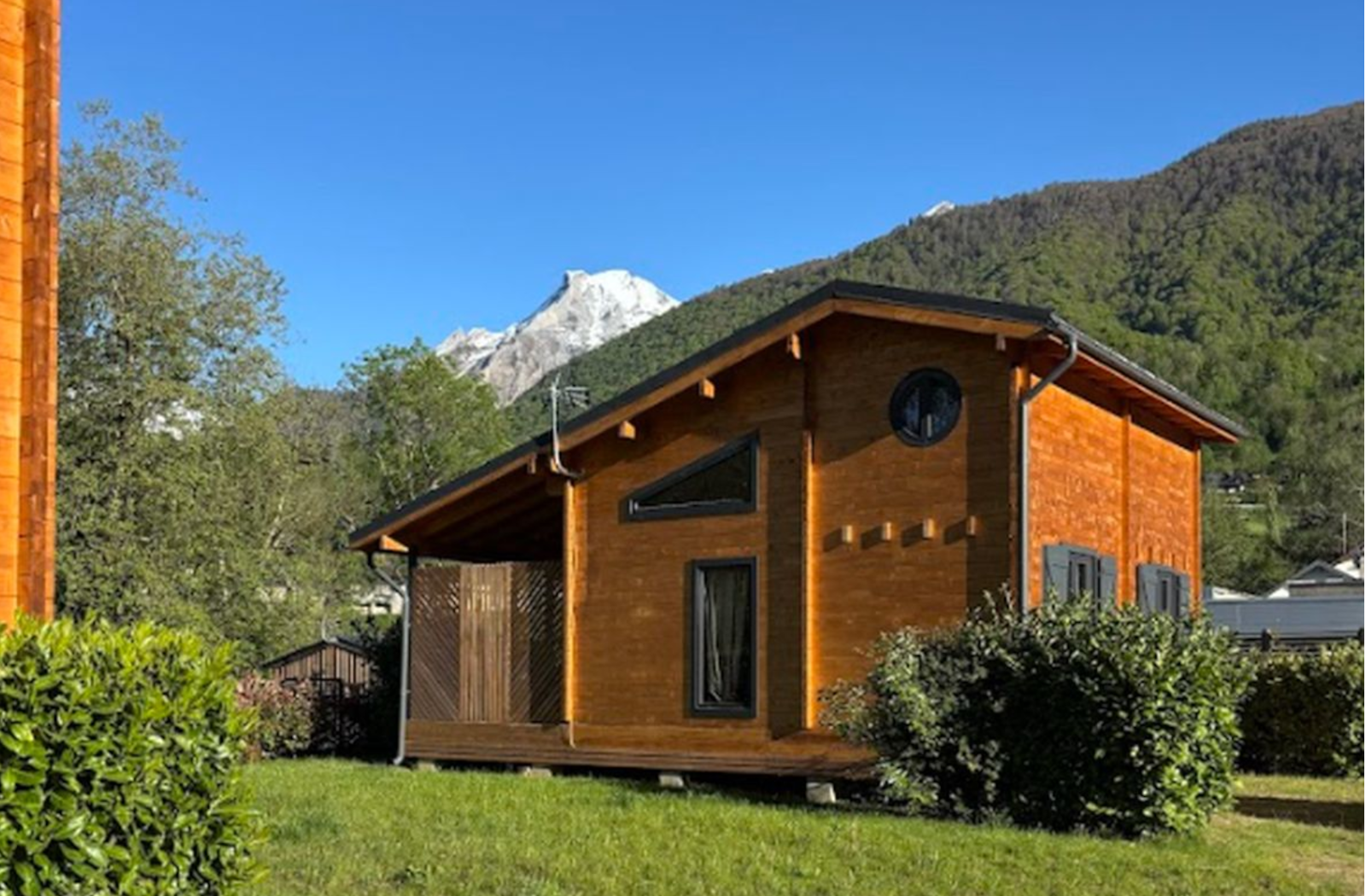
Gaves campsite in Laruns, in the Ossau Valley
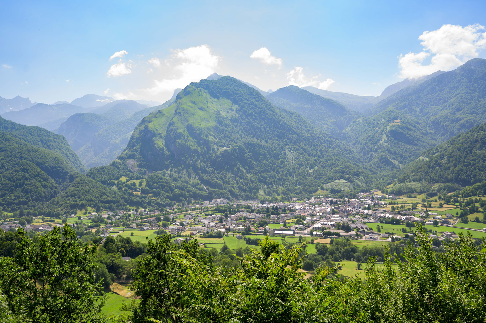
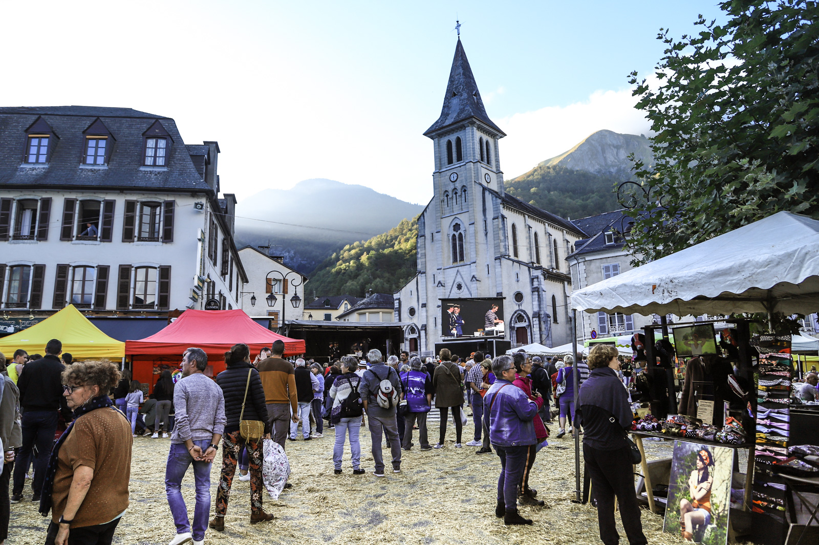
The Laruns Cheese Fair, pastoralism and Béarnese traditions in celebration early October
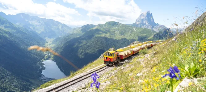
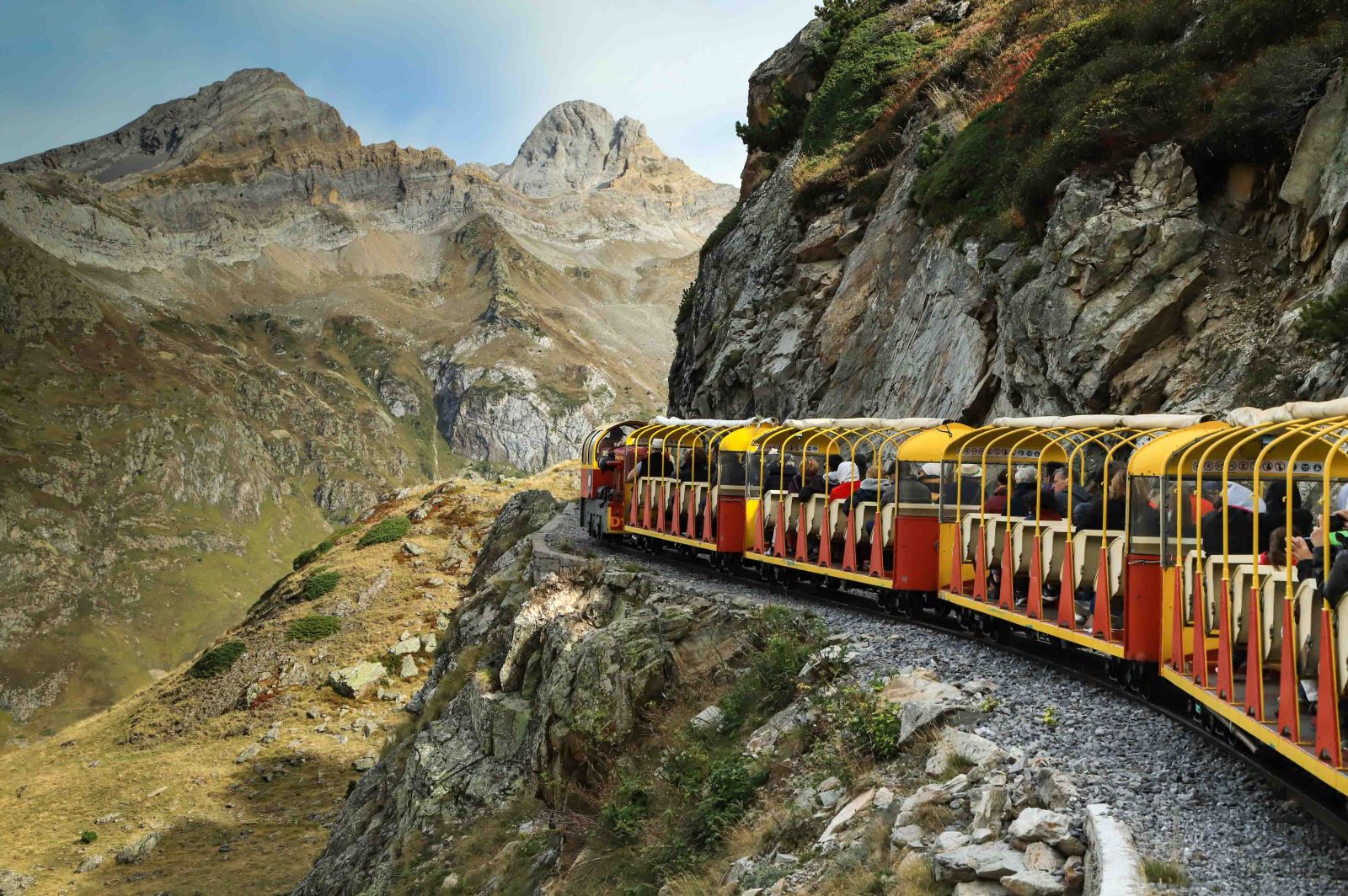
The Artouste train: a journey to the heights of the Pyrenees
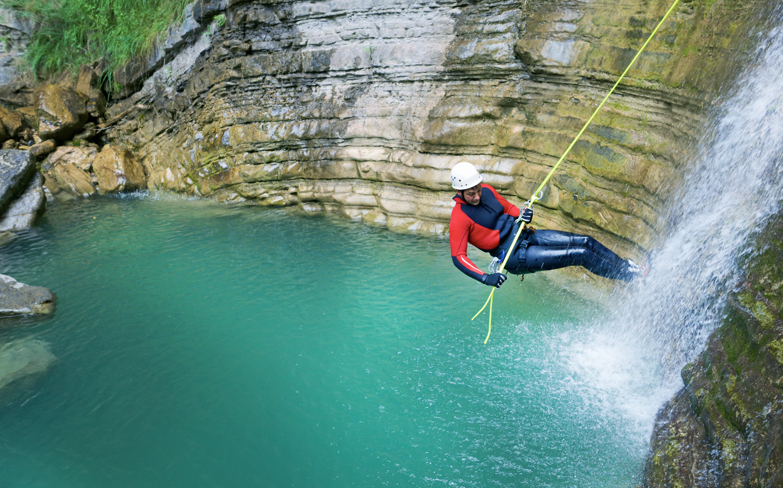
Canyoning in Béarn