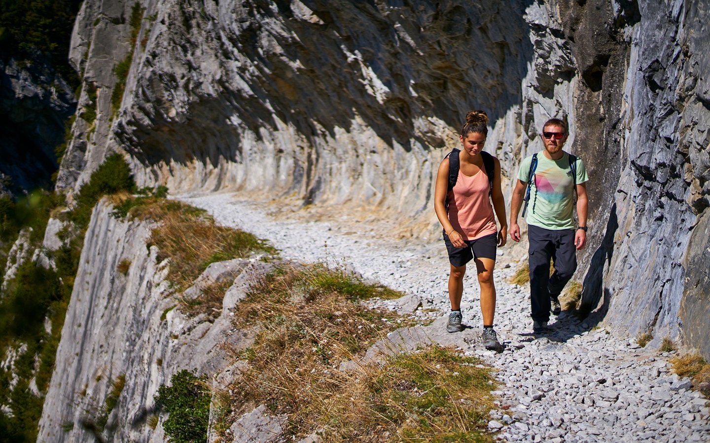
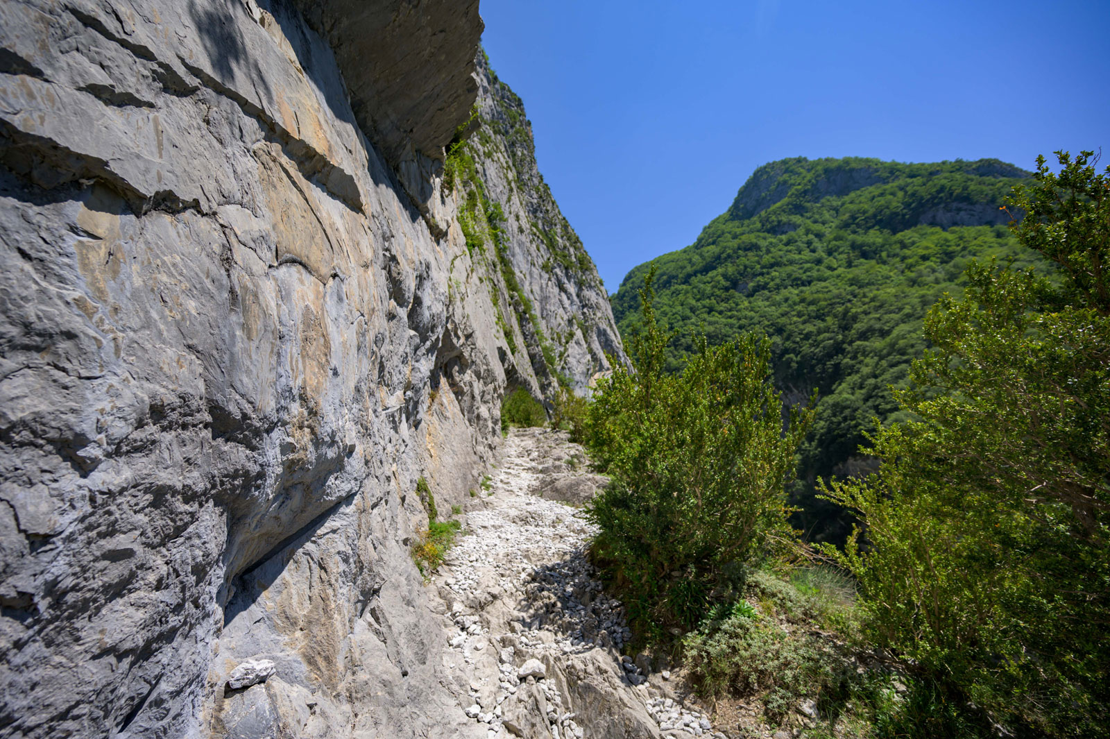
Hike on the Chemin de Mâture and towards Fort du Portalet
Hike on the Chemin de Mâture and towards Fort du Portalet
1,7 km - Urdos
Weekend & Holidays

2,5 km - Etsaut
Walking

Urdos is a small Béarnese village full of charm and history. Located on the Spanish border, it offers an ...
1,7 km - Urdos

Borce is a charming village nestled in the Aspe Valley, in the heart of Béarn. It is an ideal place for lovers of ...
2,9 km - Borce

In the commune of Accous, the Plateau de Lhers is criss-crossed by the charming Labadie stream. You will make ...
6,0 km - Accous

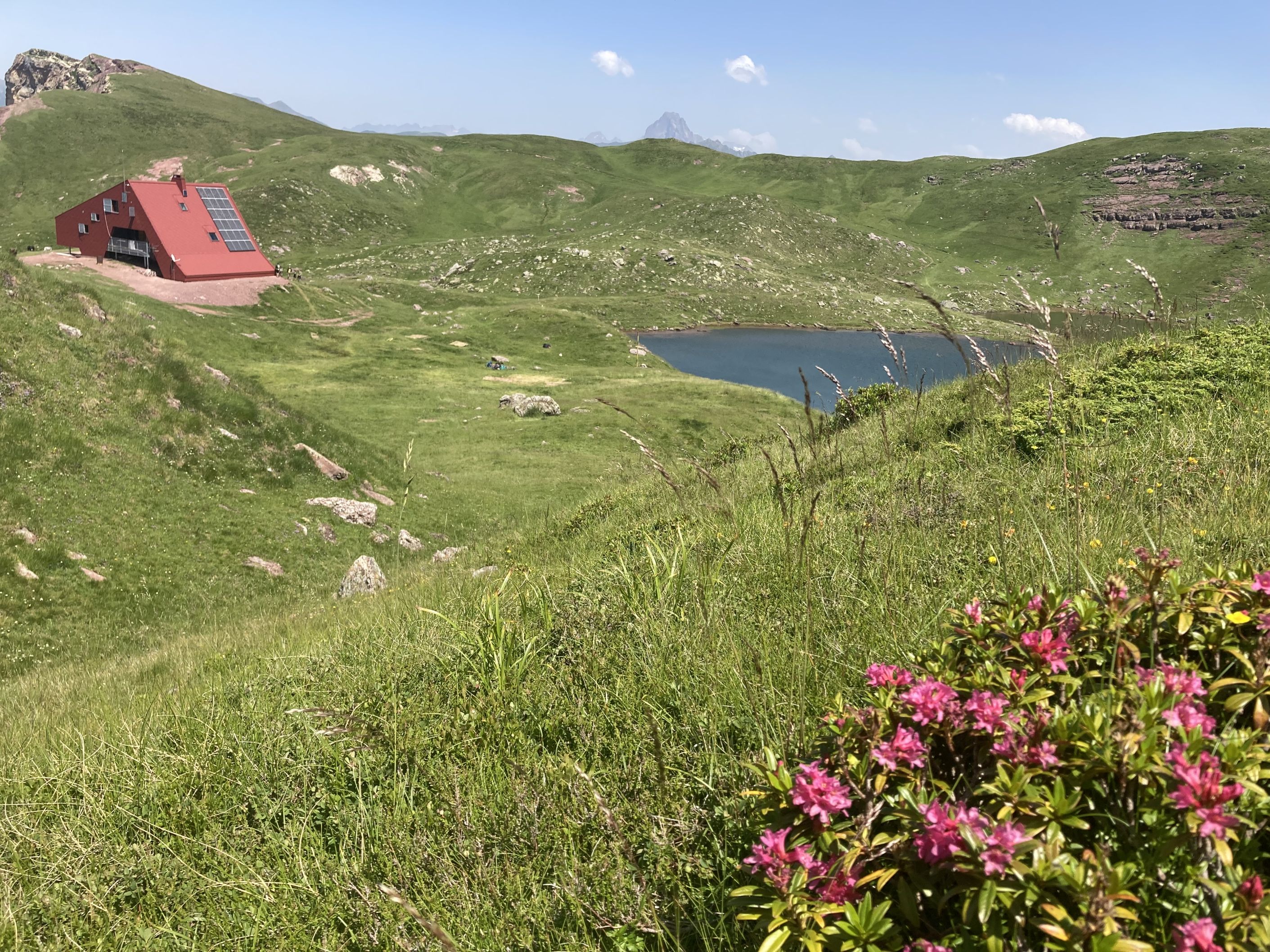
In the Ossau Valley, the Isabe Lake is a mountain lake. To get there, plan a hike of about 5 km, with a steep drop. ...
6,4 km - Laruns

The Lakes of Ayous form a set of three small lakes located below the Pic d'Ayous: lakes Gentau, du Miey, Roumassot. ...
7,2 km - Laruns

Chemin de la Mâture et Col d'Arras
Chemin de la Mâture et Col d'Arras, 64490 Etsaut
42° 53'17.92"N, 0° 33'8.81"W
1,7 km - Urdos
Weekend & Holidays

2,9 km - Borce
Family Time

8,4 km - Lescun
Weekend & Holidays

10,3 km - Accous
Not to be missed
In the commune of Accous, the Plateau de Lhers is criss-crossed by the charming Labadie stream. You will make ...
6,0 km - Accous
In the Ossau Valley, the Isabe Lake is a mountain lake. To get there, plan a hike of about 5 km, with a steep drop. ...
6,4 km - Laruns
The Lakes of Ayous form a set of three small lakes located below the Pic d'Ayous: lakes Gentau, du Miey, Roumassot. ...
7,2 km - Laruns

Near the Spanish border, in the town of Borce, Lac d'Arlet is a mountain lake, at an altitude of almost 2000 meters. ...
7,5 km - Borce

The Vallée d'Aspe is one of the valleys that spread out below the Pyrenean mountains of Béarn. It is crossed by ...
7,7 km - Lescun
